
চিত্র:Antique World Map of Continents and Oceans 1700 (cropped).png
এই প্রাকদর্শনের আকার: ৮০০ × ১১৪ পিক্সেল। অন্যান্য আকার: ১,৬০০ × ২২৮ পিক্সেল।
মূল ফাইল (১,৬০০ × ২২৮ পিক্সেল, ফাইলের আকার: ৮৫৩ কিলোবাইট, এমআইএমই ধরন: image/png)
সারাংশ
| বিবরণ |
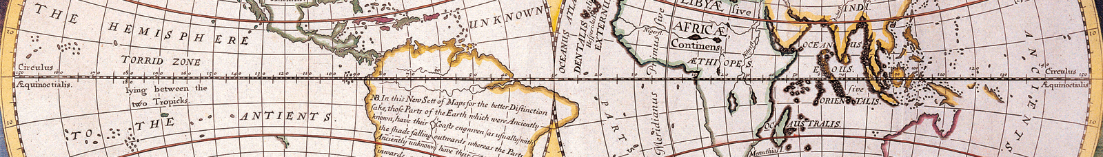
A NEW MAP of the TERRAQUEOUS GLOBE according to the Ancient Diſcoveries and moſt general Diviſions of it into CONTINENTS and OCEANS . Published in Oxford. Dedicated to Wiliam, Duke of Glouchester. Similar to National Library of Australia, NK 4620. Hand Colored. |
| তারিখ | |
| উৎস | http://3.bp.blogspot.com/-jl_kxHuSRKE/UALCjdy2g5I/AAAAAAAABVI/FoMLzIXwZQs/s1600/AntiqueWorldMapContinentsandOceans1700-long+goodbye.png |
| লেখক | Made by English mathematician and clergyman Edward Wells (1667-1727). Engraver: Michael Burghers |
| অন্যান্য সংস্করণ |

.png)
লাইসেন্স প্রদান
|
এই কর্মটি এর উৎস দেশে পাবলিক ডোমেইনে রয়েছে এবং অন্যান্য দেশ ও অঞ্চলে যেখানে কপিরাটের সময়সীমা হচ্ছে লেখকের জীবন যোগ ১০০ বছর বা তাঁর কম। | |
| এই ফাইলটি কপিরাইট আইনের আওতায় জানা সকল বাধানিষেধ মুক্ত বলে চিহ্নিত হয়েছে, যার মধ্যে সম্পর্কিত সকল স্বত্ব ও নেইবারিং সত্ত্ব সংযুক্ত। | |
External links
ফাইলের ইতিহাস
যেকোনো তারিখ/সময়ে ক্লিক করে দেখুন ফাইলটি তখন কী অবস্থায় ছিল।
| তারিখ/সময় | সংক্ষেপচিত্র | মাত্রা | ব্যবহারকারী | মন্তব্য | |
|---|---|---|---|---|---|
| বর্তমান | ১৮:৫০, ৭ সেপ্টেম্বর ২০১৯ | ১,৬০০ × ২২৮ (৮৫৩ কিলোবাইট) | Traveler100 | File:Antique World Map of Continents and Oceans 1700.png cropped 81 % vertically using CropTool with precise mode. |
ফাইলের ব্যবহার
নিম্নলিখিত পাতাটি এই ফাইল ব্যবহার করে:
ফাইলের বৈশ্বিক ব্যবহার
নিচের অন্যান্য উইকিগুলো এই ফাইলটি ব্যবহার করে:
- en.wikivoyage.org-এ ব্যবহার
- incubator.wikimedia.org-এ ব্যবহার
- ja.wikivoyage.org-এ ব্যবহার
- shn.wikivoyage.org-এ ব্যবহার
- vi.wikivoyage.org-এ ব্যবহার
- www.wikidata.org-এ ব্যবহার
.png)